DISSOLVING THE CITY: A COPENHAGEN MASTERPLAN
Location: Vesterbro Railyard, Copenhagen, Year 2030
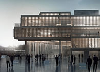
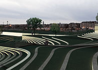
With a focus on turning a negative into a positive in continuation of the Intervention project, the first thing we did was to insert our intervention projects to create easy access to the site while providing a unique urban spatial experience. The green axis formed by Lundgaard & Tranberg’s SEB bank’s urban space and the “Intervention Terraced Landscape” is continued as a landscape that covers the metro center, eliminating it as an obstacle and turning it into an attraction.
On an urban scale, we continued Steen Eiler Rasmussen’s “Finger Masterplan” vision for Copenhagen and connect the green spaces all the way into the center of Copenhagen. By doing this we achieve a series of greenways that run on the axes that we think are ways people want to move across the site. These areas connect to the already existing green areas of Copenhagen. On a local scale, we continue the grid system of Vesterbro onto the site with bridges and Otto Busses Vej as the Main axis, to provide the functionality and optimized navigation of the western urban formation.
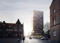
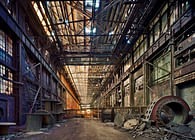
We plan to preserve as many existing buildings on the site as possible, both because there are many beautiful old buildings, but also to provide a historic feel to the site and give a unique characteristic to the newly built neighborhood. We plan to preserve a specific amount of the old railways to create a series of walkways that run through the city in a unique way.
In this way we get three different infrastructural layers that all relate to the city in a different way and scale, providing their own unique experience of how you move about the city. The green veins provide an experience in relation to the green spaces and Copenhagen as a city. The grid of Vesterbro provides a connection to the immediate surrounding neighborhoods and adds a layer of functionality and sense of navigation. The old railways provide a unique local experience that reminds you of the history of the site. We find that grid systems are really interesting when the grid is disrupted and intersected by other shapes that run on other axes.
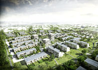
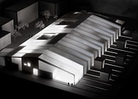
The site is between the blocks of Vesterbro and the old buildings standing among the train tracks in the rail yard. A closed off block system versus free dots of old houses. Our typology varies in openness and scale depending on these aspects, so that the city opens up and closes fluently as you move through the city. The idea is to take the closed block and dissolve it step by step until it reaches the rail yard buildings at the other end.
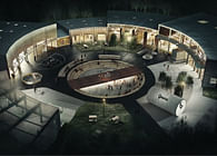
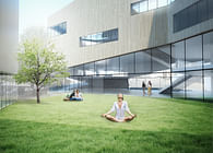
The main question that needs to be addressed when opening up a block structure is what happens to the well defined courtyard space. Our answer is to move the semi-privacy of the courtyards to the roofs of the fragmented blocks. These spaces are much more exposed to sunlight and you get open views to the city around you. Therefore, it becomes a much more socially minded semi-private space, where activity can take place on many levels. The courtyard space now becomes less closed and much more usable as public space. The ground floor can have an open program of shops on both the outside and the inside of the block in order to bring life and public into the open blocks.
Because of a series of green veins that run through the city leading walking and biking people into and out of the many blocks, people will see the active environments on the inside of the blocks. Each block you enter on your way will have a different appearance and expression in terms of materials and vegetation, so moving around this city becomes a series of surprising experiences. Another way of bringing life into the blocks is by the old train tracks that we are preserving as organically formed pathways, where railway coffee carts and other kinds of movable shops can roll through the neighborhood, providing a sense of the history of the site as well as a unique characteristic for the district.
- Chris Gotfredsen, 2011
Status: School Project
Location: Copenhagen, DK
My Role: Team project.
Additional Credits: In cooperation with Alexander Ejsing & Birk Daugaard.
Studio Instructor: Andreas Klok Pedersen. Review Panel: Finn Selmer, Professor Mike Martin, Daniel Sundlin, Andreas Klok Pedersen
