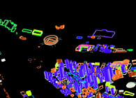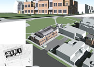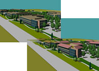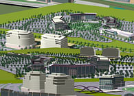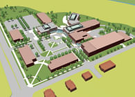
While teaching at Carnegie Mellon University I also served as an urban design consultant to the City. My research involved developing approaches for computer modeling of urban structures to support design and plan visualization and documentation. This was in the early days of GIS and well before Google Earth. In the course of this work I modeled an extended part of Pittsburgh's core areas. When the City launched a downtown plan initiative we used these models. The models were structured with data arrayed so that layers could be switched on and off in isolation or various combinations. This allowed complex urban systems and relationships to be made visible and more easily explained. The model was used to "capture" and illustrate plan decisions as they were made. The project was highly collaborative and had a large team of national experts.
All art exhibited here was created by me.
Status: Built
Location: Pittsburgh, PA, US
My Role: Urban analysis and design, computer-based urban modeling and visualization
Additional Credits: The Pittsburgh Downtown Master Plan was a project of the City of Pittsburgh with the Allegheny Conference. Eloise Hirsch was the Planning Director for the City of Pittsburgh and Tom Murphy was the Mayor. Michael Stern ASLA directed the plan and Agnew Moyer Smith were the graphic designers and branding specialists.
