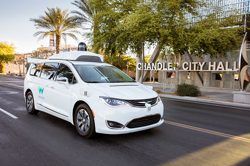

Currently, Waymo has started undertaking an extensive mapping activity of having a few of their specially outfitted data-collecting vehicles crisscross the Los Angeles area.
These vehicles contain a state-of-the-art barrage of sensory equipment, the idea is to first map out the area and then use those maps to get the self-driving cars ready for hitting our streets.
— Forbes
"The conventional mapping did not go as in-depth as does this specially performed new mapping," writes AI and Autonomous Vehicles expert Lance Eliot for Forbes. "Tons of added data of a 3D nature and including subtle but significant aspects like where the curbs are, and the locations of intersection traffic signals are considered a savvy aspect to have in-hand for their driverless car efforts."
Waymo, the Mountain View-based Google sister company, hasn't unveiled yet if and when it will launch its fleet of driverless robotaxis in LA, but the current mapping efforts signal a strong intent to win early market dominance in the nation's second largest, and likely most sprawling car-centric, metro area.
No Comments
Block this user
Are you sure you want to block this user and hide all related comments throughout the site?
Archinect
This is your first comment on Archinect. Your comment will be visible once approved.