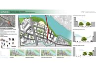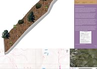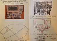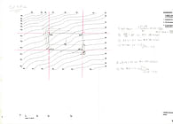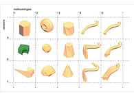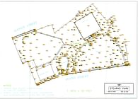
AutoCAD on paper stock 11"x11" and LaserCut on Watercolor paper 11"x11". Downtown Cairns, Australia at 1:1000’ scale. Completed for Digital Fabrication class. Spring 2014.
A figure-ground diagram is a two-dimensional map of an urban space that shows the relationship between built and unbuilt space. This simple, but complex drawing type has the ability to denote public and private space, geographical features both within and outside buildings at a seconds glance.
Objectives accomplished include:
Status: School Project
