
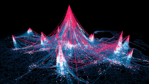
Researchers at the MIT Senseable City Lab have unveiled their latest project, which seeks to understand human mobility in cities. Titled Wanderlust, the project uses large-scale cellphone data to understand the movement of people in the metro areas of Boston, Abidjan, Braga, Lisbon, Porto, Dakar, and Singapore. The result is an interactive digital model which quantifies data through time and space, unlocking a new way of seeing and reading cities.
To undertake the project, the MIT researchers analyzed over 8 billion human mobility traces collected across four continents. In doing so, they found that the flows of movement to all locations in each city followed a predictable, universal pattern. This pattern can be reproduced through a mathematical formula: “The number of visitors to any given location decreases as the inverse square of the product of their visiting frequency and travel distance.” This formula can be simplified to say “people are unlikely to travel far too often.”
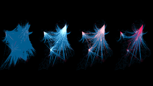
While a simple and intuitive observation, the researchers believe that their new ability to quantify and calculate this observation can open unprecedented possibilities for transportation planning, epidemic modeling, and urban design. “We found that humans have a natural tendency of trading off travel distance with frequency: the further we travel, the less frequently we do it,” say the researchers. “This discovery can be used to fully reproduce real-world mobility data, better locate businesses and facilities in urban spaces, and find effective containment strategies for disease spreading.”
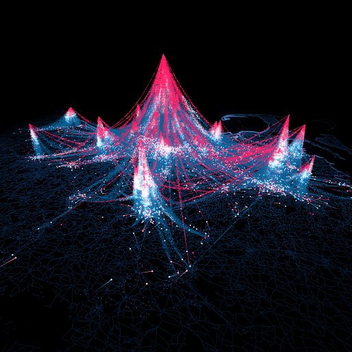
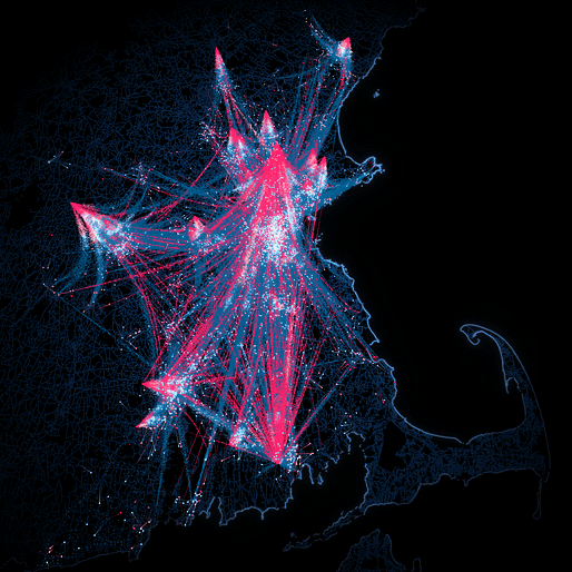
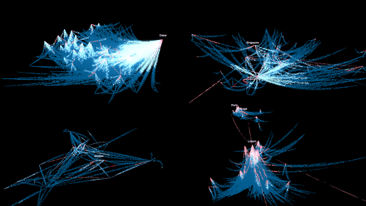
The resulting digital modeling generated by the Senseable City Lab acts as a demonstration of how individuals organize lives around existing urban infrastructure, and how these habits, in turn, shape the physical layout of a city. To generate their maps, the researchers fragmented the cities into 500-square-meter segments and used their real-world data to map spatial clusters, represented as “mountains” seen in the digital imagery. These digital mountains and valleys demonstrate the team’s formula in action, showing how individual mobility can form an emerging spatial structure; linking periodic individual movements with a larger urban population flow.
Wanderlust is the latest project to come from the MIT Senseable City Lab. Earlier this year, we reported on their Favelas 4D project, using 3D laser scanning technology to map the largest favela in Rio de Janeiro, Brazil.
No Comments
Block this user
Are you sure you want to block this user and hide all related comments throughout the site?
Archinect
This is your first comment on Archinect. Your comment will be visible once approved.