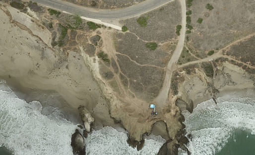

Using drones for aerial photography has been a source of controversy for several years now. But amid increasing concerns over privacy and safety, some conservation scientists are hoping drone owners will help them to document sea level rise.
With an expected increase in storm activity in the Pacific Ocean this winter, scientists believe they are getting a glimpse of the impacts of climate change on coastlines.
— scpr.org
To see an interactive example of a DroneDeploy-stitched high-resolution map, click here.
Related stories in the Archinect news:
No Comments
Block this user
Are you sure you want to block this user and hide all related comments throughout the site?
Archinect
This is your first comment on Archinect. Your comment will be visible once approved.