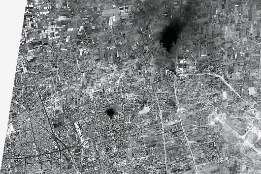

FA investigators take standard architectural and digital tools such as telemetry, video-footage syncing and shadow clocks, and repurpose them to reveal the secrets of conflict zones. Weizman's team has also pioneered plume analysis...Weizman and his colleagues' brief is as wide-ranging as man's cruelty to man: they mine the information seam where enemies clash, where migrants drown, natives are dispossessed and civilians bombed. — Wired
For the January 2016 issue of WIRED magazine, Michael Hodges profiled the work of Forensic Architecture (FA) and the organisation's director Eyal Weizman.
Are you sure you want to block this user and hide all related comments throughout the site?
No Comments
Archinect
This is your first comment on Archinect. Your comment will be visible once approved.