Archinect
Elvis Herrera

Elvis Herrera

Nampa, ID, US

anchor

Paradise Creek Restoration Project

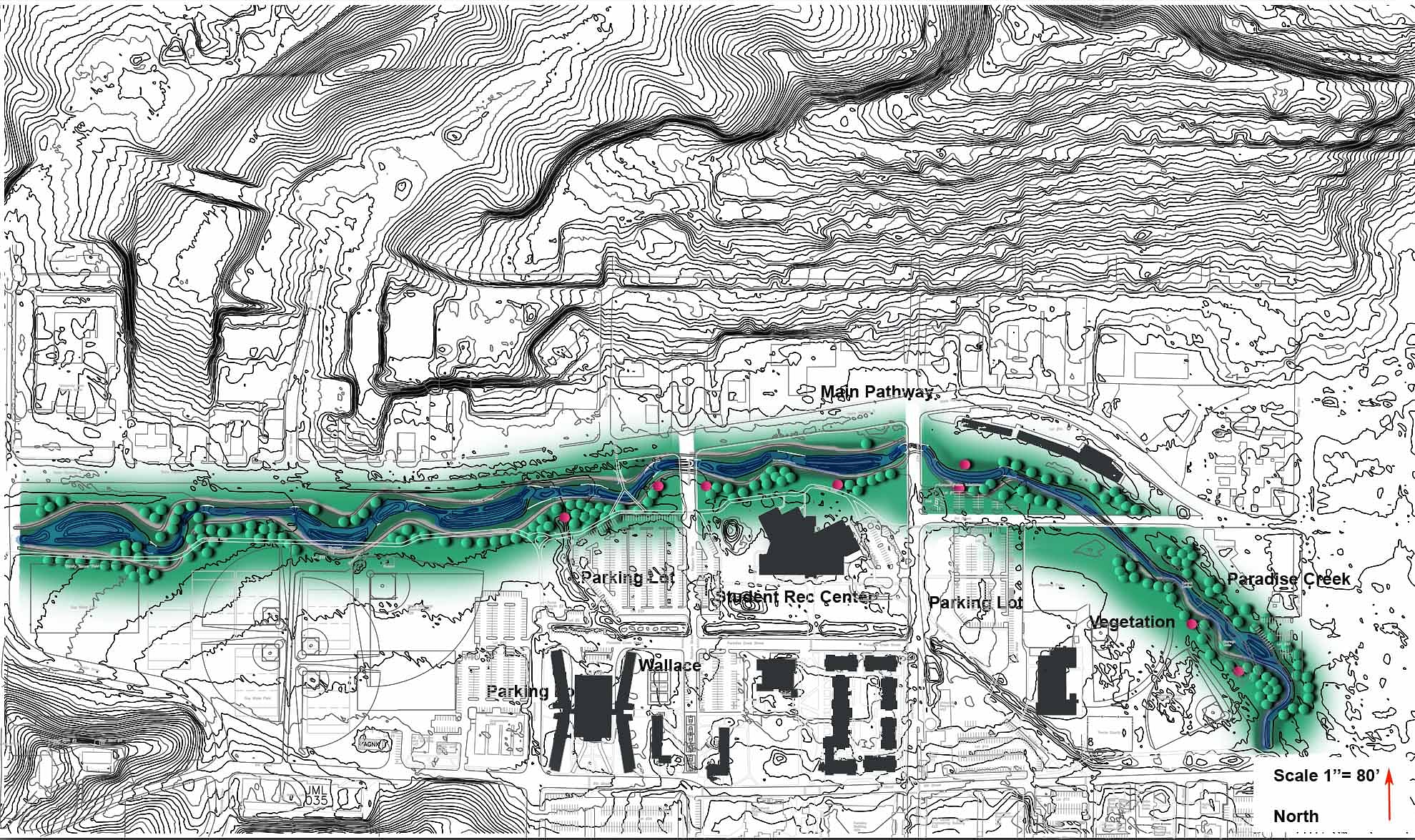
The purpose of this project was the management of the 100 years flood plain.  The property will serve as a dynamic community for all living organisms.  The functions in this site that will help the community are peat accumulation, biogeochemical, hydrologic and habitat equilibrium.  The wetland will have features such as animal habitat, water, and vegetation

 
Read more

Status: School Project
Location: Moscow, ID, US

 
This is a plan view of the area that will need to be dug up in order to replace the original route of the creek. The red is the areas that will need to be cut up and blue is the areas that will need to fill up. This is a good to show how the surrounding area will need to be excavated. It also estimates how much money it will take in order rerouted the creek
This is a plan view of the different elevation model that changes throughout the site. The white shows a higher elevation then the black which is the lowest point. This was to help me see which spots were lower than others. The stream is the lowest point on the area.
This is a plan view of the water throughout the site. This allows me to see the acclimation of the water in all surrounding areas. This is good because it allow me to see were most areas gathered more water then others. This played in important role in designing how my stream was going to be. In the areas were most of the water acclimates I put in a bioswale and a bigger area to hold the water for long periods of time.
This is a plan view of the different elevations showing how much the slope changes every five contours. This is good for showing just how deep my contours are in comparison to the surrounding area.