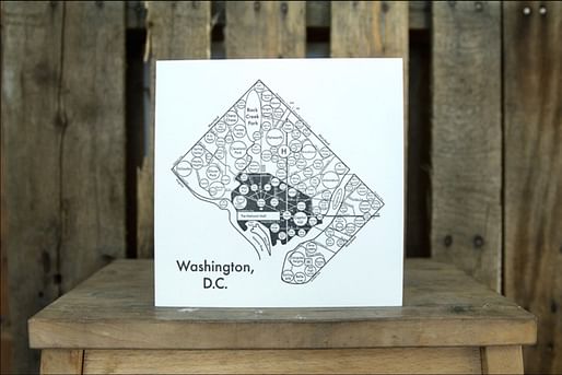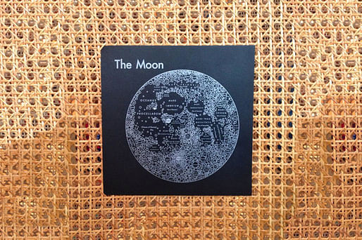
A set of maps from designer Archie Archambault might help us rebuild the mental maps of cities that we're starting to lose. Instead of a literal grid of streets, he maps out neighborhoods and the basic parts of a city the way someone who lives there might think of it, or at least the way they probably did before Google Maps existed. — Fast Company
How did people live—or at least find their way to all of the events, parties, and work-related meetings—before they had smartphones and GPS? You could ask a friend, just as Archie Archambault did when he first visited Portland and didn't know his way around. Since then, he has started drawing circular "mental maps" of cities, based on the recollections of each urbanity's denizens.

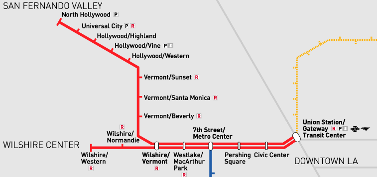
Similar to the simplified subway line maps that help commuters get from one transit stop to another by omitting unnecessary details, these mental maps render cities in terms of big-picture human landmarks. He's mapped cities from Amsterdam to Kyoto to Vancouver, B.C. (and, just in case you find yourself up there without a good WiFi connection, the Moon).


No Comments
Block this user
Are you sure you want to block this user and hide all related comments throughout the site?
Archinect
This is your first comment on Archinect. Your comment will be visible once approved.