
Oct '11 - Feb '12
Project 1 Summary
For Project 1 I chose the city of Cincinnati, Ohio. Cincinnati is located in Hamilton County which is in the southwestern corner of Ohio. Cincinnati is bounded by the Ohio River to the south, the Great Miami River to the west and some low lying hills to the north and east. Cincinnati, like many eastern cities in the United States was settled originally by Native Americans. As early settlers moved west Cincinnati was acquired from the indigenous people at a very low cost and prepared for rapid expansive western development. The local geography of the region reflects the city’s strategic settlement. As many industrial cities in the early American days it is positioned on some ideal flat land along a very long river that connects to many other colonial areas.
It was this geographic context that my analysis first emerged from. After the various deductive hand drawings I discovered that the growth of the urban core of Cincinnati is concentrated in the flatland along the Ohio River and expands to the north through arterial roads that climb up the valleys of the “seven hills” of the city.
Another striking feature of my visual graphic analysis was the profound amount of land dedicated to industrial land use. This area is concentrated on the western edge of the downtown area stretching north along the Great Miami River. Historically there is a lot of common sense that this would be the case, but in Cincinnati's case there is a great loss of natural eco-scape that the city’s residents could enjoy. Possibly this could happen as the city grows away from the gritty industrial past and into a more sustainable future. At least this would be an ideal use that is in close proximity to the populated urban core.
Since the advent of the automobile Cincinnati was not immune to the interstate system’s sinuous veins of circulation. Two major interstates intersect each other and pass through the downtown of Cincinnati. I-75 flanks the west side of downtown and I-471 swoops down the east side. Two blocks off of the Ohio River these two freeways interchange with a sub-grade thoroughfare. On the upside this wide multi-lane road is crossed by almost all the streets from the downtown to the waters edge, but on the down-side the freeway network creates a physical barrier for pedestrian access to the recreation at the waterfront. Here is one other area where there is a lot of wasted potential, even though the city has a plan underway to take advantage of the waterfront areas between the football and baseball stadiums, there could be potential for much more. I hope that there is more development of recreation for this area in the coming years.
View full entryReading Summary Spiro Kostof’s book, The City Shaped: Urban Patterns and Meanings Through History, begins with an introduction by the author that sets the context of his book within the relatively young profession and pedagogy of Urban Design. Kostof seeks to explain the evolution of urban... View full entry
Reading Summary Aseem Inam’s essay titled: Meaningful Urban Design: Teleological / Catalytic / Relevant brings to discussion a thorough cross section of urbanists and architects, such as Rem Koolhaas and Christopher Alexander. The essay suggests, meaningful urban design is a multi-faceted... View full entry

Acknowledgements Because of the specific focus of this assignment that coincided with the classes collaboration and field trip to Cleveland I want to publicly acknowledge the following organizations and individuals, in no particular order. Kent State University’s Urban Design Collaborative... View full entry

Sustainable Cleveland 2019: Action and Resource Guide Introduction The city of Cleveland, Ohio has a well known industrial past. While Cleveland’s history of being an important port town along Lake Erie within the Great Lakes Basin, the city also suffered historic damage to its... View full entry
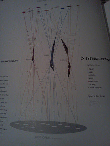
Book Jacket for Systemic Design © Systemic Design© Can Change the World - Alan Berger SUN Publishers, 2009 About the Author Alan Berger is a Tenured Associate Professor in Urban Design and Landscape Architecture at Massachusetts Institute of Technology. He also is the... View full entry
I would like to start this blog out in simple fashion, without too much fuss, so that the ideas and concepts discussed can be stated clearly and thus allowing for constructive dialogue. I will always try to keep in mind a quote by Mark Twain, "If I had more time, I would have written a shorter... View full entry
This is my personal blog to express my thoughts and research on architecture and urban design bridging academic and practice. My interests are in exploring the sustainability of urban environments.
