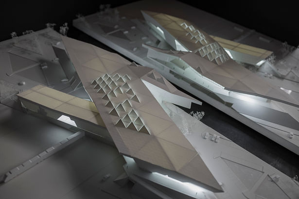

Mexico City has grown disproportionately eliminating its connections with the natural environment. We believe that to amend this, the territory should answer to its topographic vocation where natural systems correspond to the heights of the land.
In today´s context it is impossible to go back to depending on only one great lake, because of this we seek to divide the magnitude of this lake in various fragments that adapt to the contemporary infrastructure. The project strives for a topographic suture of the surroundings of Lake Texcoco.
If we join the sites of water with the sites of landscape we can have a suture, weaving the programmatic axis of the city with the natural axis of the basin which is its natural drain, the sewage of Mexico City. Naturally, the high points of the basin are where landscape emerges and the low points are where water accumulates.
The project strategy places the ecologic as its first hierarchy, followed by the urban and finally the architectural. The essential action is to regenerate a withering landscape.
Because of the absence of an immediate urban context we use topography as a means of order, where the same natural trend of the basin is replicated in order to be able to reconfigure the terrain. We elaborate a network of high points which is where we can build, and another network of low points which become bodies of water. The places where these two meet become areas for mangroves and natural reserves.
Status: School Project
Location: Texcoco, MX
My Role: Architecture, Design, Graphic Design and Rendering.
Additional Credits: Ricardo López