This investigation looks towards a collection of data to produce one succinct understanding of complex systems within city infrastructure.
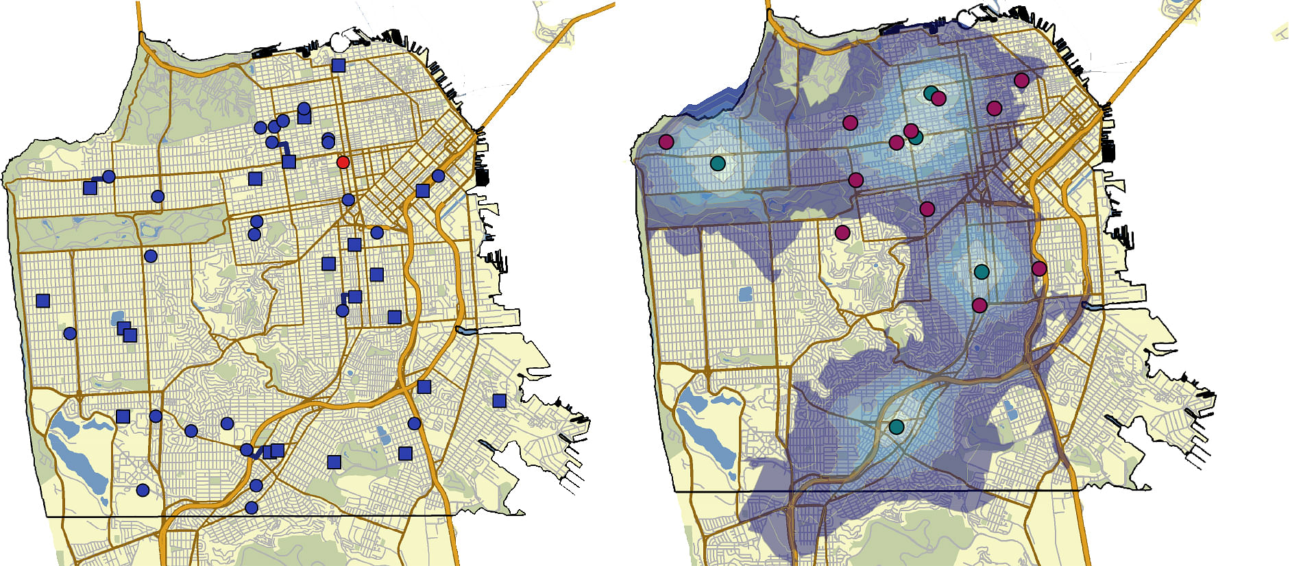
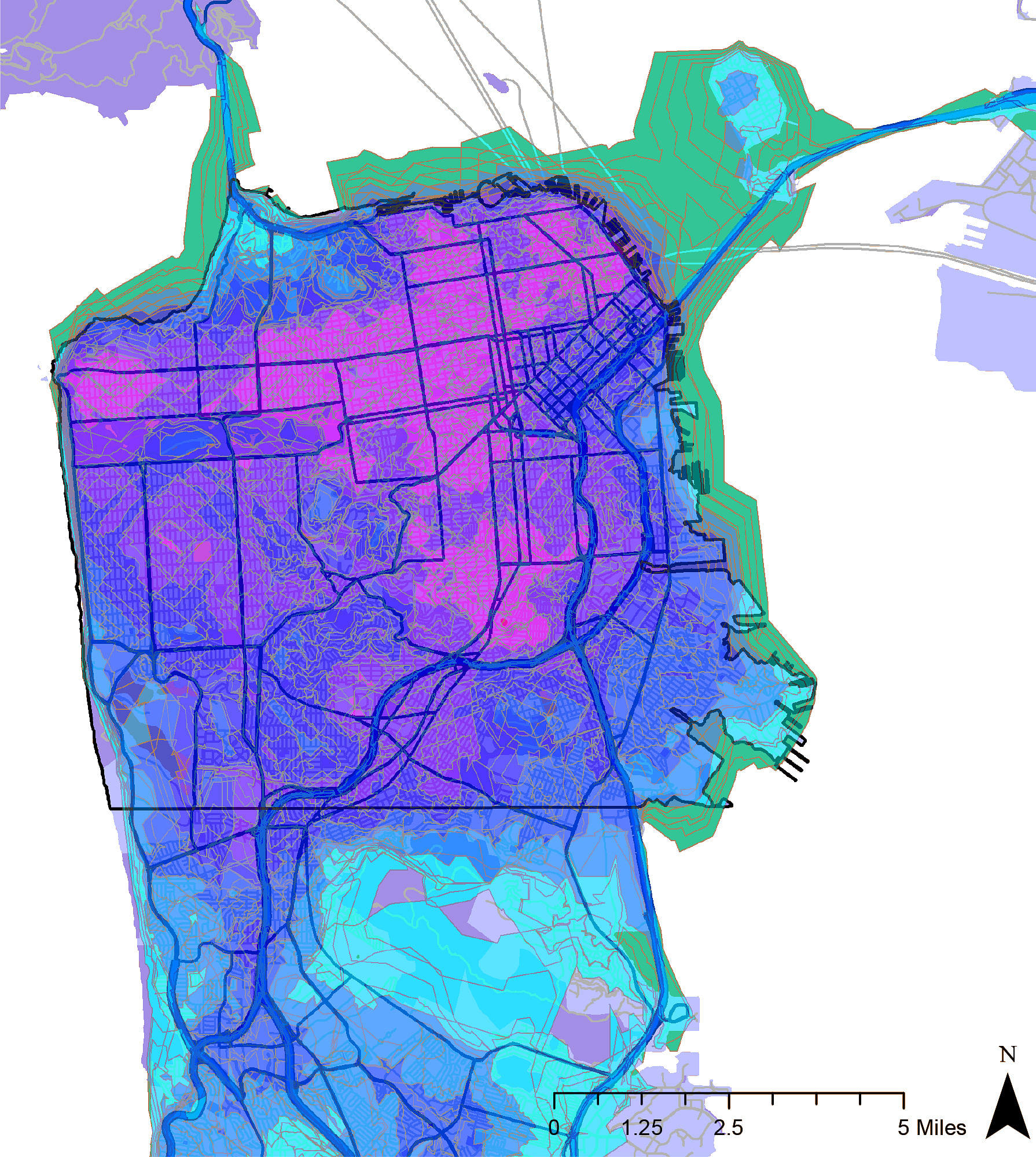
One investigation included a network analysis using the locations of stores, schools, hospitals, police, and fire stations in San Francisco, the service areas for each facility was mapped, exported as a new data layer and unioned into one composite
map. The areas in green near the North Peninsula shows a favored area to live. Many of the areas in the South Peninsula and the water edge do not have as high access to these amenities.
In order to establish the population centers with high populations of seniors a query was performed to select areas from the census block that had a population of over 200 senior citizens. Using these as facilities in the location allocation solution, the best locations
were chosen using a target market share problem of 75%. The demand points included hospitals, transit hubs, police, and fire stations.
Status: School Project
Location: San Francisco Bay Area