
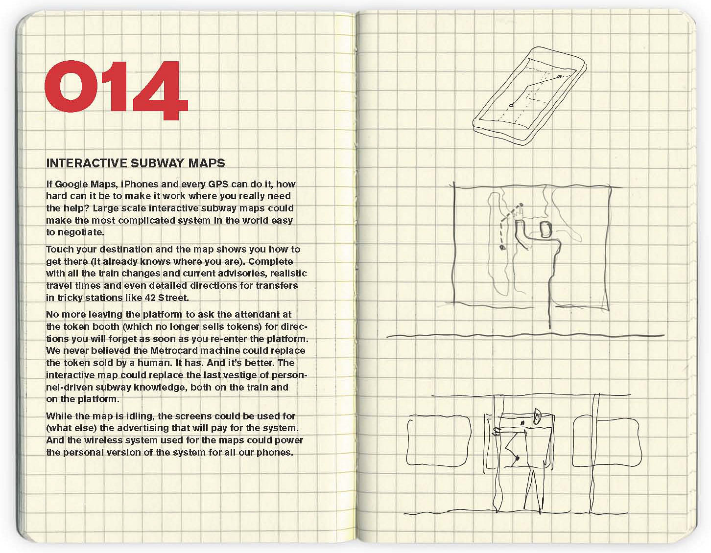
If Google Maps, iPhones and every GPS can do it, how hard can it be to make it work where you really need the help? Large scale interactive subway maps could make the most complicated system in the world easy to negotiate.
Touch your destination and the map shows you how to get there (it already knows where you are). Complete with all the train changes and current advisories, realistic travel times and even detailed directions for transfers in tricky stations like 42 Street.
No more leaving the platform to ask the attendant at the token booth (which no longer sells tokens) for directions you will forget as soon as you re-enter the platform. We never believed the Metrocard machine could replace the token sold by a human. It has. And it's better. The interactive map could replace the last vestige of personnel-driven subway knowledge, both on the train and on the platform.
While the map is idling, the screens could be used for (what else) the advertising that will pay for system. And the wireless system used for the maps could power the personal version of the system for all our phones.


No Comments
Block this user
Are you sure you want to block this user and hide all related comments throughout the site?
Archinect
This is your first comment on Archinect. Your comment will be visible once approved.